
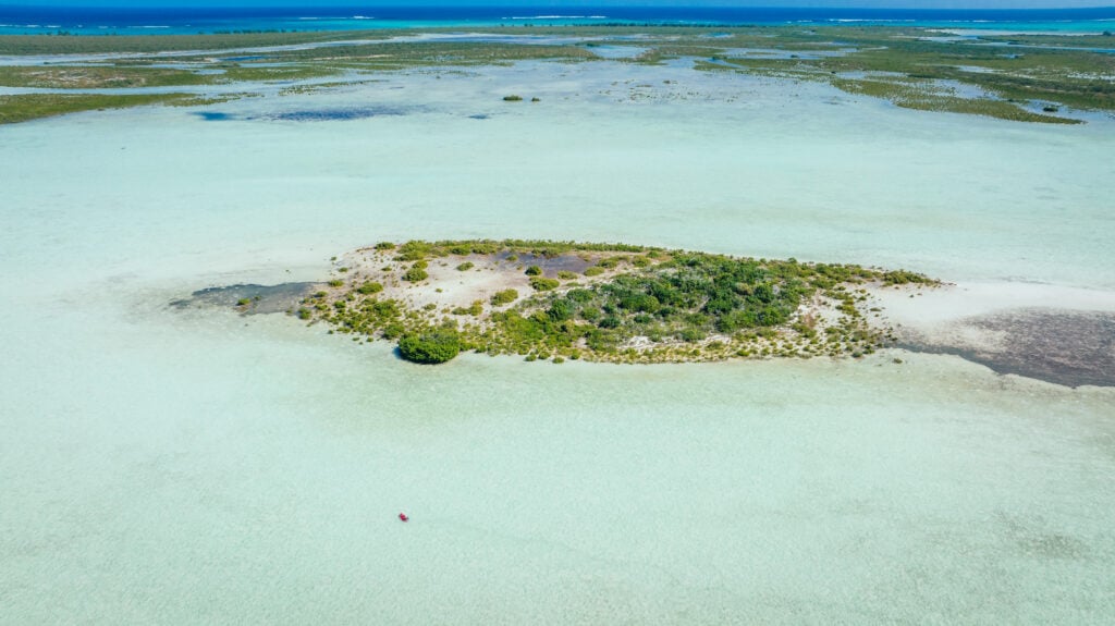
In the remote expanse of the central Pacific Ocean, near the Palmyra Atoll, the sea surface temperature is currently recorded at approximately one degree Celsius higher than historical averages. While a single degree might seem negligible to a casual observer on a vessel, this thermal shift carries profound implications for global atmospheric patterns. This localized warming acts as a primary catalyst for the redirection of the jet stream, serving as a critical early indicator for winter precipitation levels across the Northern Hemisphere. The mechanism is fundamental to meteorology: warm water heats the overlying atmosphere, reducing surface pressure and disrupting established wind patterns.
Historically, trade winds move from east to west across the Pacific, sequestering warmer waters near Indonesia and maintaining cooler temperatures near the Palmyra Atoll. However, when these winds diminish, a self-reinforcing feedback loop is initiated. A warm patch emerges, shifting the pressure balance and further weakening the trade winds. This allows a massive volume of warm water to slide eastward, eventually altering where storm systems develop over the open ocean. These shifts ultimately dictate the trajectory of storm tracks that impact the Rocky Mountains and the continental United States months later.
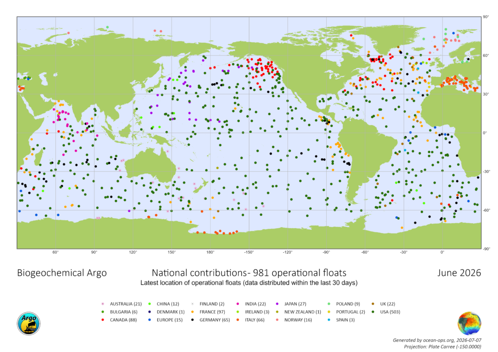
The precision with which scientists monitor these changes is not the result of manual readings from research vessels. Instead, it is the product of the Argo program, a global network of approximately 4,000 autonomous robotic floats. Since the early 2000s, these devices have provided real-time profiling of the ocean’s interior. Operating at depths of over a mile, these floats ascend to the surface every ten days to transmit data via satellite to global receiving centers. This essential scientific infrastructure is currently facing a significant existential threat due to proposed funding cuts and administrative delays within the United States government.
The Technological Evolution of the Argo Fleet
The Argo program, named after the ship from Greek mythology used by Jason and the Argonauts, was conceptualized in the late 1990s and officially launched in 1999. Its primary objective was to provide a "weather map" for the upper 2,000 meters of the global ocean. Before the deployment of this fleet, oceanographic data was largely dependent on ship-based measurements, which were geographically limited and prohibitively expensive.
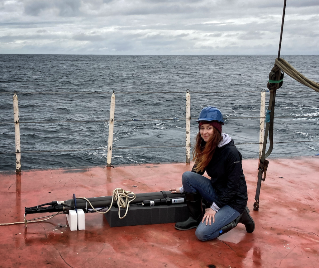
Over the last two decades, the technology has evolved significantly. The standard Argo float measures temperature, salinity, and pressure. However, newer iterations have expanded the program’s scope. The Biogeochemical (BGC) Argo floats are equipped with specialized sensors to monitor oxygen levels, pH, nitrate, and chlorophyll. These metrics are vital for understanding ocean acidification and the health of marine ecosystems. Additionally, "Deep Argo" floats have been developed to withstand the immense pressure of the abyss, traveling to depths of nearly four miles (6,000 meters) to investigate deep-sea processes that were previously inaccessible.
Dr. Shawnee Traylor, a chemical oceanographer and carbon cycle scientist, emphasizes the necessity of this subsurface data. While satellites provide comprehensive coverage of the ocean’s surface, they cannot penetrate the depths where the majority of the planet’s heat and moisture are stored. "Forecasters need that subsurface picture to understand what’s brewing below and when we’ll see it in the weather," Dr. Traylor notes. This data is utilized by a diverse array of stakeholders, including meteorologists, commercial fisheries, maritime navigators, and the military.
A Chronology of Ocean Observation and Funding Milestones
The transition from ship-dependent research to autonomous monitoring marked a paradigm shift in oceanography. The following timeline highlights the progression and the current state of the Argo initiative:
- 1999: The Argo program is officially introduced as a collaborative international project.
- 2000-2007: Rapid deployment phase, reaching the initial goal of 3,000 floats globally.
- 2010s: Development of BGC-Argo and Deep Argo prototypes to address gaps in climate and biological data.
- 2020: The National Science Foundation (NSF) awards a five-year grant to fund the launch of 500 new BGC-Argo floats, intended to modernize the U.S. contribution to the fleet.
- 2023-2024: Expiration of key funding cycles and a shift in federal budget priorities.
- Present Day: Proposals for fleet maintenance and renewal have remained in a state of administrative "limbo" for over 20 months. Typically, such grants receive responses within six months.
The U.S. has historically been the primary contributor to the program, maintaining over half of the global fleet through decentralized funding from the National Oceanic and Atmospheric Administration (NOAA) and the NSF. The current delay in funding renewal has left program leaders without the resources to construct new floats for the upcoming fiscal year.
Supporting Data: The Ocean as a Planetary Heat Sink
The scientific importance of the Argo program is underscored by its role in tracking the Earth’s energy imbalance. The ocean absorbs approximately 90 percent of the excess heat trapped in the climate system by greenhouse gas emissions. Furthermore, the ocean sequesters about 30 percent of all anthropogenic carbon dioxide emissions.
According to data derived from Argo floats, the rate of ocean warming is staggering. Dr. Traylor describes the scale of this energy absorption as equivalent to "exploding 12 atomic bombs in the ocean each second." This heating leads to thermal expansion, a process where warmer water occupies more volume, accounting for roughly one-third of global sea-level rise. Without the continuous stream of data from Argo, scientists would be unable to calculate these rates with the precision required for coastal planning and disaster mitigation.
The economic efficiency of the program is also a critical data point. A single profile from an Argo float costs approximately $200. In contrast, obtaining the same data via a research vessel would cost thousands of dollars per data point when factoring in fuel, crew, and specialized equipment. Currently, Argo data contributes to over 500 peer-reviewed scientific publications annually and informs nearly every modern weather forecasting model.
Official Responses and Political Landscape
The current funding crisis is situated within a broader context of significant reductions in federal scientific spending. Under the current administration’s budget directives, grants for oceanography have been reduced by approximately 50 percent over the past year. While the administration has prioritized other sectors, the scientific community warns that defunding climate research will have long-term consequences for national security and economic stability.
The National Science Foundation has not issued a formal rejection of the Argo funding proposals, but the prolonged silence has created a state of operational paralysis. "We haven’t been told no yet, but we’re running out of time," Dr. Traylor stated. "At a certain point, we start losing jobs and decades of critical technical expertise."
However, there is a legislative precedent for reversing such trends. In June, a bipartisan effort led by U.S. Senators Jeff Merkley (D-OR) and Lisa Murkowski (R-AK) successfully blocked the dismantling of the Ocean Observatories Initiative (OOI), another critical research network. In a signed letter to the NSF, 11 senators argued that dismantling such networks jeopardizes decades of research and compromises public safety. Advocates for the Argo program are now looking toward similar congressional intervention to secure the future of the float fleet.
Broader Impact and Implications for the Future
The potential degradation of the Argo network poses a multi-faceted risk. If the fleet is not replenished, the density of data points will decrease, leading to "sparser data." This reduction in resolution directly correlates to less reliable forecasts for extreme weather events, including hurricanes and blizzards.
For the agricultural sector, the loss of accurate long-term weather outlooks could disrupt planting schedules and crop management. For coastal communities, the loss of data on thermal expansion and current changes could result in inadequate preparation for sea-level rise and storm surges. Furthermore, the disappearance of winter snowpacks—a critical water source for much of the western United States—is monitored through models that rely heavily on the ocean temperature data provided by Argo.
The scientific community maintains that the ocean is the primary driver of the global climate system. As Dr. Traylor articulates, "Even if they’ve never seen it, everyone is deeply tied to the ocean." The current trajectory suggests that within two years, the absence of new float deployments will begin to manifest as a measurable decline in the accuracy of weather predictions.
The Argo program represents one of the most successful examples of international scientific cooperation in history. Its potential defunding marks a significant retreat from data-driven climate policy. As the administrative delay continues, the window for maintaining the continuity of this two-decade-long dataset is rapidly closing, leaving the future of global weather and climate forecasting in an increasingly precarious position.