
Meteorological data and regional reports indicate that a potent late-season storm system is poised to impact the European Alps, bringing an end to a period of stable, clear weather and delivering substantial snow accumulations across the northern ranges. As of Tuesday, March 24, 2026, the Alpine region is experiencing what forecasters describe as the "calm before the storm," with high-pressure systems currently providing clear skies and mild temperatures before a significant atmospheric shift begins on Wednesday. Experts predict that some regions could see as much as 70 centimeters of fresh powder by the end of the week, providing a critical boost to snowpacks as the busy Easter holiday period approaches.
Meteorological Overview and Forecast Specifics
The incoming weather front is expected to be one of the most significant northern Alpine events of the 2025–2026 winter season. According to Fraser Wilkin, a leading specialist from weathertoski.co.uk, the storm’s trajectory is particularly noteworthy due to its projected impact on the entire northern Alpine region, including Austria. Wilkin noted that this specific distribution—favoring the northern fringes of the chain—has been relatively rare during the current season, which has often seen more sporadic or south-leaning snowfall patterns.
The forecast for the period between Wednesday, March 25, and Friday, March 27, suggests a heavy concentration of precipitation. In the northern French Alps, including the Savoie and Haute-Savoie sectors, fresh snow totals are expected to range between 20 and 50 centimeters. The northern Swiss Alps and the northern Austrian Alps are anticipated to receive even higher volumes, with forecasts placing the accumulation between 30 and 70 centimeters. This "Nordstau" effect—where moisture-laden air is forced upward by the northern mountain barriers—is a classic driver of heavy snowfall in resorts across the Bernese Oberland, the Arlberg, and the Salzburg regions.
In contrast, the southern Alps are expected to remain largely shielded from the brunt of this system. While the far southern French Alps may remain entirely dry, there is a distinct possibility that the south-eastern Alps, specifically the Italian Dolomites, could catch a moderate snowfall on Wednesday night as the tail end of the front sweeps across the peninsula.
Chronology of the Weather Shift
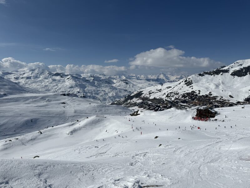
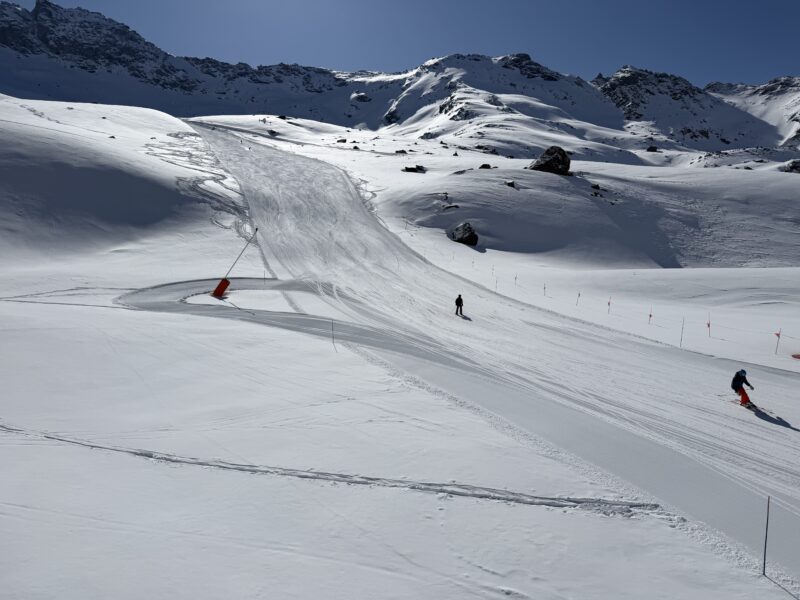
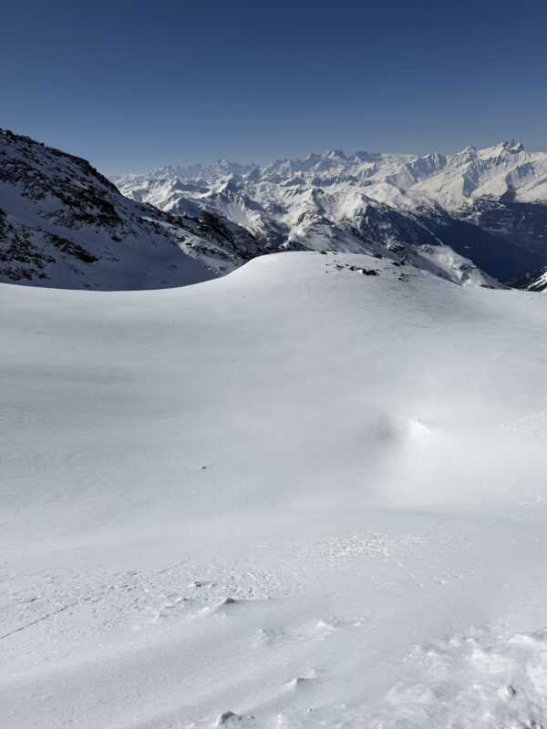
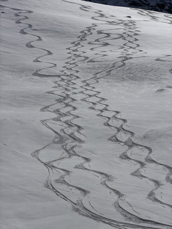
The transition from late-winter sunshine to full-scale storm conditions has followed a distinct timeline. On Monday, March 23, and Tuesday, March 24, the Alps enjoyed what many skiers consider "bluebird" conditions. In Val Thorens, France—the highest ski resort in Europe—on-the-ground observers reported nearly deserted pistes and exceptional visibility. James Cove, a veteran reporter and editor at PlanetSKI, noted that the quiet conditions in the Orelle sector and the main Val Thorens bowl represented the peak of spring skiing before the atmospheric pressure began to drop.
By Tuesday afternoon, however, high-altitude cloud cover began to thicken over the western Alps, signaling the approach of the cold front. The timeline for the storm’s progression is as follows:
- Tuesday, March 24: The final window of high pressure. Clear skies dominated the central and eastern Alps, with temperatures at 2,000 meters hovering just above freezing, creating a typical "freeze-thaw" spring cycle.
- Wednesday, March 25: The front is expected to make landfall in the French and Swiss Alps by the morning hours. Snowfall will intensify throughout the day, with the freezing level dropping significantly. By Wednesday night, the system will extend into Austria and the Italian Dolomites.
- Thursday, March 26: Peak intensity for the northern Swiss and Austrian Alps. Heavy, sustained snowfall is predicted throughout the day, accompanied by increased wind speeds at higher elevations, which may lead to lift closures in exposed areas.
- Friday, March 27: The storm is expected to taper off from the west, though lingering flurries will continue in the eastern Austrian Alps. Skies are projected to begin clearing by Friday evening, setting the stage for a potential "powder day" on Saturday.
Regional Reports: From Val Thorens to Zermatt
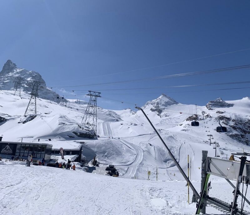
The impact of this weather shift is being closely monitored across major European hubs. In Zermatt, Switzerland, the iconic views of the Matterhorn are expected to be obscured for several days as the storm moves through the Valais region. Local operators have welcomed the forecast, noting that the fresh snow will be essential for maintaining piste quality on the lower slopes as April approaches.
In the Tarentaise Valley of France, the mood is equally optimistic. Val Thorens has benefited from its high altitude throughout the season, but the addition of up to 50 centimeters of new snow will solidify conditions for the late-season crowd. Observations from the Orelle side of the Les3Vallées system on Monday highlighted the excellent base currently in situ, which will be further protected by the incoming cold temperatures and fresh coverage.
Transatlantic Comparisons: Conditions in British Columbia
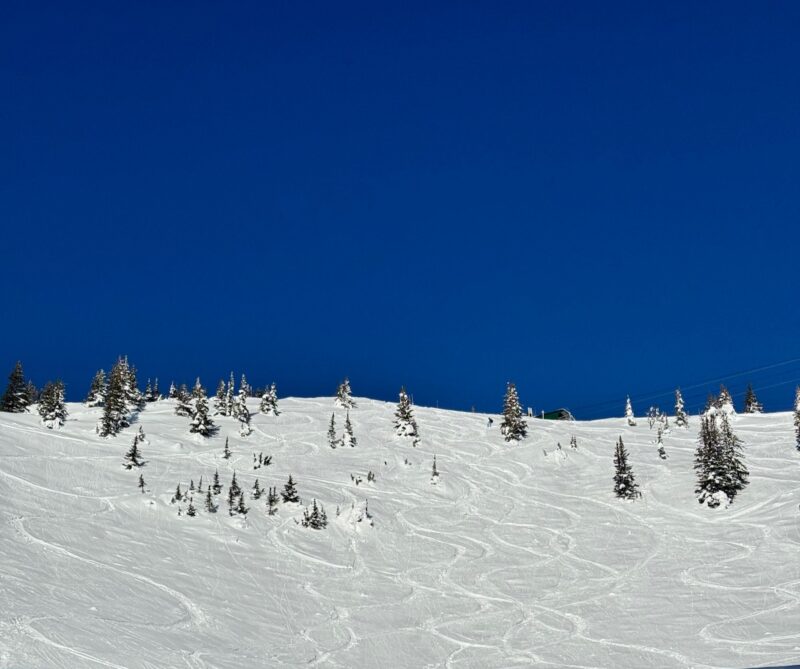
While the Alps prepare for a fresh dumping, North American resorts have been grappling with their own volatile weather patterns. Reports from Kicking Horse Mountain Resort in British Columbia, Canada, illustrate the challenges of the current season. The resort was forced to suspend operations last Friday due to an unseasonable combination of warm temperatures and rain affecting the middle and lower mountain.
However, the volatility also brought a rapid recovery. By Saturday, the "Horse" received 20 centimeters of fresh snow at the summit. PlanetSKI correspondents Marie Taylor and Alex Cove reported that while off-piste areas remained "bulletproof" (extremely hard-packed or icy) in sections affected by the previous rain, the groomed runs and high-altitude bowls offered excellent skiing. The fresh snow coincided with local freeride events, providing enough coverage for competitors to navigate the resort’s notoriously steep terrain. The contrast between the "slushy" spring conditions at the base and the winter-like powder at the top highlights the "Jekyll and Hyde" nature of mountain weather during the March transition.
Economic and Logistical Implications for Easter
The timing of this storm is of significant economic importance to the European ski industry. With Easter Sunday falling shortly after this storm cycle, the influx of fresh snow serves as a vital marketing tool and operational boon. For many Austrian resorts that sit at lower altitudes compared to their French counterparts, a 70-centimeter dump in late March can be the difference between a successful holiday period and an early seasonal closure.
Logistically, the storm presents both opportunities and challenges. While the "snow promise" will likely drive last-minute bookings for the Easter holidays, the intensity of the snowfall on Wednesday and Thursday is expected to create travel disruptions. Authorities in the Savoie and Tyrol regions have issued reminders to travelers regarding the necessity of snow chains and winter tires, as mountain passes are expected to experience heavy accumulations and reduced visibility.
Furthermore, the "significant" snowfall will necessitate a re-evaluation of avalanche risks. The addition of up to 70 centimeters of new snow on top of an existing, sun-baked spring crust can create unstable layers. Local mountain guides and avalanche centers (such as SLF in Switzerland and Météo-France) are expected to raise danger ratings to Level 3 (Considerable) or Level 4 (High) during the peak of the storm.

Analysis of Seasonal Trends and Climate Context
The 2025–2026 season has been characterized by its inconsistency. While some periods have seen record-breaking cold, others have been dominated by "African plumes" bringing warm air to high altitudes. The rarity of a comprehensive northern Alpine storm—stretching from the French Prealps to the Austrian Tauern range—suggests a shift in the North Atlantic Oscillation that has favored more southerly tracks earlier this year.
This late-season surge is part of a broader trend observed over the last decade, where the "traditional" winter months of December and January are increasingly supplemented by heavy snowfall events in March and April. For resort managers, this shift requires a pivot in operational strategy, focusing more on "spring skiing" infrastructure and ensuring that high-altitude links remain open well into the spring months.
As the storm moves in, the focus for the skiing community will remain on the balance between the welcome accumulation of "white gold" and the safety requirements of navigating a major mountain weather event. PlanetSKI and other regional monitors will continue to provide updates as the storm progresses across the continent, transforming the Alpine landscape just in time for the final peak of the winter season.