
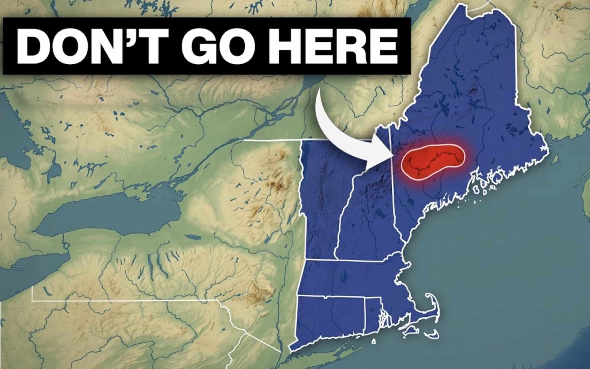
New England stands as one of the most densely populated and historically rich regions in the United States, yet its underlying geography is defined by a series of striking anomalies. From tidal phenomena capable of capturing large ships to mountains carved by prehistoric ice sheets, the six northeastern states—Maine, New Hampshire, Vermont, Massachusetts, Rhode Island, and Connecticut—harbor an extraordinary range of geological curiosities. A newly released feature by the digital media channel Across The Globe compiles 50 of the most compelling facts about this corner of the country, drawing renewed academic and public interest to the forces that shaped the New England landscape.
Main Facts: Geological Surprises and Coastal Paradoxes
Among the most startling revelations highlighted in the geographic compilation is the true scale of Maine’s coastline. While a generalized measurement of state borders would suggest California vastly outstrips Maine in ocean frontage, data compiled by the National Oceanic and Atmospheric Administration (NOAA) tells a different story. Utilizing tidal shoreline metrics that account for the intricate web of bays, coves, inlets, and offshore islands, Maine boasts approximately 3,478 miles of shoreline. This edges out California’s 3,427 miles by a margin of 51 miles, placing Maine fourth nationwide behind only Alaska, Florida, and Louisiana.
This statistical phenomenon ties directly into the famous "coastline paradox," a mathematical concept demonstrating that the measured length of a rugged landmass depends entirely on the scale of the instrument used. Furthermore, Maine houses the unusual "Desert of Maine" near Freeport—a 20-acre expanse of exposed glacial silt that mimics an arid desert landscape despite the state’s high annual precipitation.
Other states in the region showcase equally dramatic anomalies. In Vermont, paleontological discoveries include a beluga whale fossil unearthed far from any modern saltwater environment, offering physical proof of the Champlain Sea—an ancient inland arm of the Atlantic Ocean that flooded the St. Lawrence Lowlands as the Laurentide Ice Sheet retreated.
Chronology and Geological Timeline
The evolution of New England’s geography spans hundreds of millions of years, though its most recognizable modern features were sculpted during the Quaternary Period, culminating in the last glacial maximum roughly 20,000 years ago.
- 250 to 50 Million Years Ago: Ancient tectonic collisions, including the Appalachian orogeny, build the foundational mountain chains of the region, creating high-relief terrain across modern-day Maine, New Hampshire, and Vermont.
- 20,000 to 12,000 Years Ago: The massive Laurentide Ice Sheet advances across North America, burying New England under thousands of feet of ice. As the climate warms, the retreating glaciers scour bedrock, carve alpine cirques such as Tuckerman Ravine, and deposit terminal moraines that form the peninsulas and islands of Cape Cod, Martha’s Vineyard, and Nantucket.
- 12,000 to 10,000 Years Ago: Melting glacial meltwater creates temporary inland water bodies like the Champlain Sea, allowing marine mammals to inhabit regions now deep within Vermont.
- The Colonial Era to Modern Day: Human settlement reshapes the drainage basins, forests, and coastlines. Agricultural clearing in the 18th and 19th centuries strips much of the native timber before a massive twentieth-century reforestation effort takes hold. In the contemporary era, specialized industries like Vermont’s maple syrup production—which accounted for over 3 million gallons and more than half of the entire U.S. harvest in 2026, according to USDA estimates—demonstrate how modern economies continue to leverage these glacial ecosystems.
Supporting Data and Environmental Context
Geographers and earth scientists emphasize that New England’s topography functions as a natural textbook for glacial geomorphology. The region’s defining features rely on specific physical parameters:
- Elevation Extremes: Mount Washington in New Hampshire stands at 6,288 feet, serving as the highest peak in the northeastern U.S. and famously recording some of the most violent surface wind speeds on Earth.
- Shoreline Complexity: Maine’s high ratio of tidal shoreline to land area stems from "drowned" river valleys (estuaries), where rising post-glacial sea levels flooded river mouths carved during lower sea-level stands.
- Agricultural Output: Vermont’s dominance in maple syrup relies heavily on the specific climate zone—characterized by freezing nights and thawing days in early spring—created by the region’s northern latitude and mountainous topography, which encourages the optimal flow of xylem sap in Acer saccharum (sugar maple) trees.
Institutional Perspectives and Expert Analysis
Geographers and regional historians note that popular interest in local geography often overlooks the complex interplay between geological history and modern state identity.
"When people think of New England, they picture colonial white-steeple churches, stone walls, and dense autumn forests," noted a regional geomorphologist specializing in northeastern glacial history. "What is frequently lost in the cultural narrative is that those iconic stone walls—built by farmers clearing fields—are actually monuments to the glaciation process. The ice sheet dumped millions of granite erratics across the soil, forcing generations of settlers to laboriously haul them out of the earth just to plant crops."
Furthermore, coastal scientists emphasize that Maine’s shoreline measurements serve as an essential baseline for understanding sea-level rise and coastal erosion. As climate change accelerates marine boundary adjustments, the fragile barrier islands and complex estuaries measured by NOAA are undergoing continuous transformation.
Broader Impact and Implications
The rediscovery of these 50 geographic facts via digital media highlights a broader trend in public education: the democratization of earth sciences through accessible digital platforms. By translating complex NOAA datasets, USDA agricultural reports, and geological surveys into engaging video content, educational creators are bridging the gap between academic research and public curiosity.
For the regional tourism and outdoor recreation economies of Maine, New Hampshire, Vermont, Massachusetts, Rhode Island, and Connecticut, this attention reinforces the value of geotourism. Visitors traveling to hike Mount Katahdin’s Knife Edge, ski the glacial bowls of the White Mountains, or tour Vermont’s sugar maples are directly engaging with an ancient landscape shaped by ice, water, and time. Ultimately, these revelations underscore that beneath New England’s picturesque and heavily settled surface lies a dynamic, deeply complex terrain shaped by forces far older than human history.

