
Western South Dakota often surprises travelers traversing the seemingly endless expanse of the American Great Plains. Rather than flat, uninterrupted prairie, this western corridor features a concentrated pocket of striking geological formations, rich Indigenous history, and iconic Americana that draws millions of visitors annually. A recent geographical analysis by the digital educational platform Beaver Geography sheds light on why this unique region stands out geographically, tracing its landscape back millions of years while examining its modern-day economic and cultural significance.
Main Facts: Geology and Landscape of the Region
The distinct topography of western South Dakota is primarily defined by two remarkable geological features: the Black Hills and the Badlands. These neighboring landscapes present a stark contrast to the surrounding terrain and to one another.
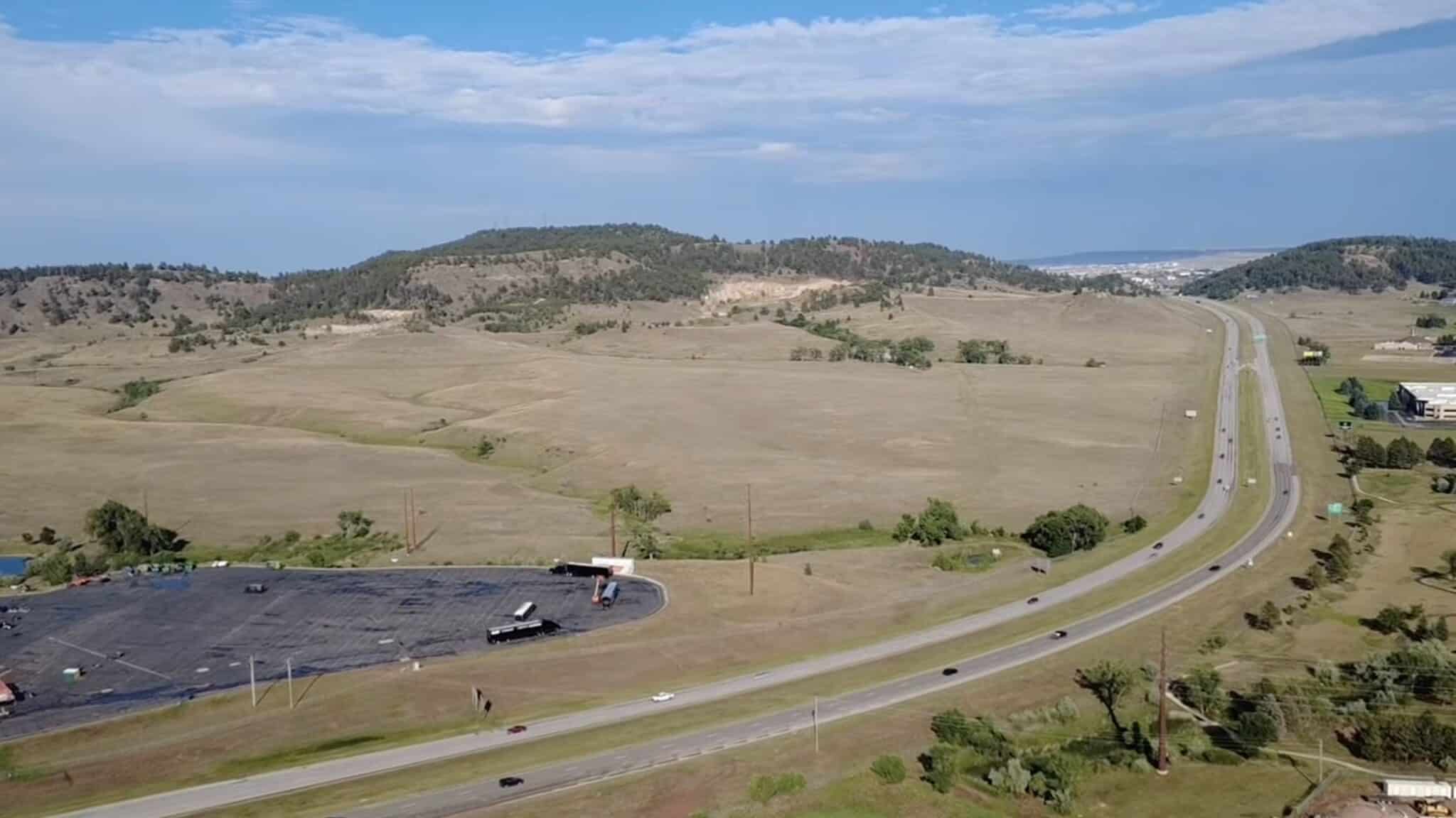
The Black Hills rise abruptly from the Great Plains as an isolated mountain range disconnected from the main spine of the Rocky Mountains. According to geological studies highlighted by Beaver Geography, the Black Hills were formed through a process known as tectonic uplift. Millions of years ago, subterranean forces pushed ancient Precambrian bedrock from deep within the Earth’s crust toward the surface. As sedimentary layers above bowed upward and eroded away, they exposed the distinctive granites and dense pine forests that give the region its dark, shadowed appearance from a distance.
In sharp contrast, the Badlands represent a masterclass in erosion rather than uplift. This maze of sharply eroded buttes, pinnacles, and spires is composed of layers of soft sedimentary rock and clay. These sediments were deposited millions of years ago by ancient inland seas, rivers, and volcanic ash falls. As regional uplift occurred and the climate shifted, water and wind systematically carved away the soft material, revealing a colorful, fossil-rich geological record that continues to erode at a rapid pace today.
Chronology and Historical Context
The history of western South Dakota is a layered narrative spanning millions of years of natural evolution followed by centuries of profound human impact.
- Millions of Years Ago: Ancient inland seas deposit layers of sediment, while subsequent tectonic forces begin the slow uplift of the Earth’s crust, laying the groundwork for future badlands and mountain formations.
- Pre-19th Century: Indigenous peoples, particularly bands of the Lakota Sioux, inhabit the region. The Black Hills (known in Lakota as Paha Sapa) become sacred grounds, holding deep spiritual and cultural significance.
- 1874: Lieutenant Colonel George Armstrong Custer leads an expedition into the Black Hills, confirming the presence of gold. This discovery triggers the Black Hills Gold Rush, leading to an influx of prospectors and miners, and subsequent violations of the Fort Laramie Treaty of 1868.
- 1927–1941: Construction of Mount Rushmore takes place under sculptor Gutzon Borglum, permanently altering a granite face in the Harney Peak region of the Black Hills and anchoring the area’s modern tourism economy.
- Mid-to-Late 20th Century: The completion of Interstate 90 transforms the region into a major cross-country corridor, fueling the growth of roadside commercial staples like Wall Drug and cementing events like the Sturgis Motorcycle Rally as cultural institutions.
- Present Day: Rapid City emerges as a thriving regional hub, while tourism and cultural preservation efforts continue to define the socioeconomic landscape of western South Dakota.
Supporting Data and Tourism Infrastructure
Western South Dakota functions as a major tourism engine for the state. Anchored primarily by Interstate 90, the region facilitates travel for millions of motorists and vacationers each year. Key public and private entities support this steady stream of visitors:
- Public Lands: The region hosts multiple protected areas managed by the National Park Service and the U.S. Forest Service, including Badlands National Park, Wind Cave National Park, Jewel Cave National Monument, and the Black Hills National Forest. State-managed assets like Custer State Park cover over 71,000 acres and support large herds of free-roaming American bison.
- Economic Impact: Tourism contributes billions of dollars annually to South Dakota’s economy. Cities such as Rapid City—acting as the gateway to the Black Hills—have experienced consistent population growth and infrastructure expansion to accommodate seasonal influxes.
- Iconic Roadside Attractions: Commercial landmarks such as Wall Drug, which began as a small-town pharmacy in the 1930s, now draw millions of annual visitors through aggressive highway signage and localized Americana, representing a unique model of destination marketing.
- Specialized Events: The Sturgis Motorcycle Rally, established in 1938, routinely draws hundreds of thousands of motorcycle enthusiasts every August, making it one of the largest gatherings of its kind in the world and a massive contributor to the local economy.
Cultural Implications and Indigenous Perspectives
Beyond its geological curiosities and commercialized highway attractions, western South Dakota carries a complex cultural weight that continues to shape contemporary discourse.
Historians and cultural preservationists emphasize that the Black Hills remain unceded ancestral territory for the Oceti Sakowin (Great Sioux Nation). The forced acquisition of the land following the 1874 gold discovery remains a profound historical grievance. Today, nearby reservations such as Pine Ridge, Rosebud, and Cheyenne River maintain deep-rooted cultural connections to the land, while advocating for sovereignty, treaty rights, and cultural stewardship.
Geographers note that understanding western South Dakota requires looking past the superficial layer of tourist souvenirs and national monuments. The coexistence of high-volume tourism, military presence via Ellsworth Air Force Base, and sacred Indigenous homelands creates a multifaceted regional identity.
Broader Impact and Analytical Implications
The enduring appeal of western South Dakota offers valuable insights into American geography and heritage tourism. Isolated geographic anomalies like the Black Hills serve as natural laboratories for geologists studying crustal uplift, while the Badlands provide paleontologists with critical windows into prehistoric ecosystems.
Economically, the region demonstrates the viability of leveraging natural landscapes and highway infrastructure to sustain thriving local economies in sparsely populated rural states. However, balancing mass tourism with ecological preservation and the rightful recognition of Indigenous sovereignty remains an ongoing challenge for local municipalities, state leaders, and federal agencies. As public interest in domestic road trips and outdoor recreation continues to evolve, western South Dakota remains a compelling intersection of natural history, national memory, and modern commerce.

